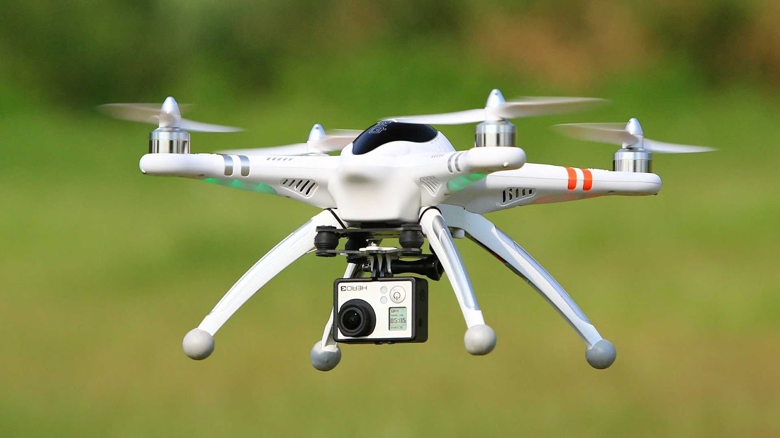
Unmanned Aerial Vehicles (UAVs) in Disaster Management and Surveying
Usage of drones is ascending these days in discreet fields like security
agencies, photography, surveying etc., Remote sensing satellites are being used to survey the disaster hit areas. The data from these satellites is combined with ground based data.
agencies, photography, surveying etc., Remote sensing satellites are being used to survey the disaster hit areas. The data from these satellites is combined with ground based data.
Drones can be effectively used to survey the ground data which is inaccessible or time-consuming.
 |
| image source: geekongadgets |
North-Eastern Space Applications Center (NE-SAC) of ISRO has tested UAVs to assess several regional problems in North-Eastern parts, ranging from measuring diseased paddy fields to damage caused by frequent landslides, according to the space agency. UAVs can perform efficient surveys for disaster-prone or inaccessible areas, quick damage assessment of landslides, earthquakes and other disasters.

0 Response to "Unmanned Aerial Vehicles (UAVs) in Disaster Management and Surveying"
Post a Comment